Bing Maps: Plot Map - Using Longitude and Latitude Co-ordinates
If your FastStats system holds Longitude and Latitude co-ordinates as variables, these can be used in order to create a Plot Map.
For example:
-
Create a selection identifying people in the Coventry Postal Area earning £70-80k and above - High Earners in the CV Postal Area.

-
Drag and drop the Map tool on top of the selection window
-
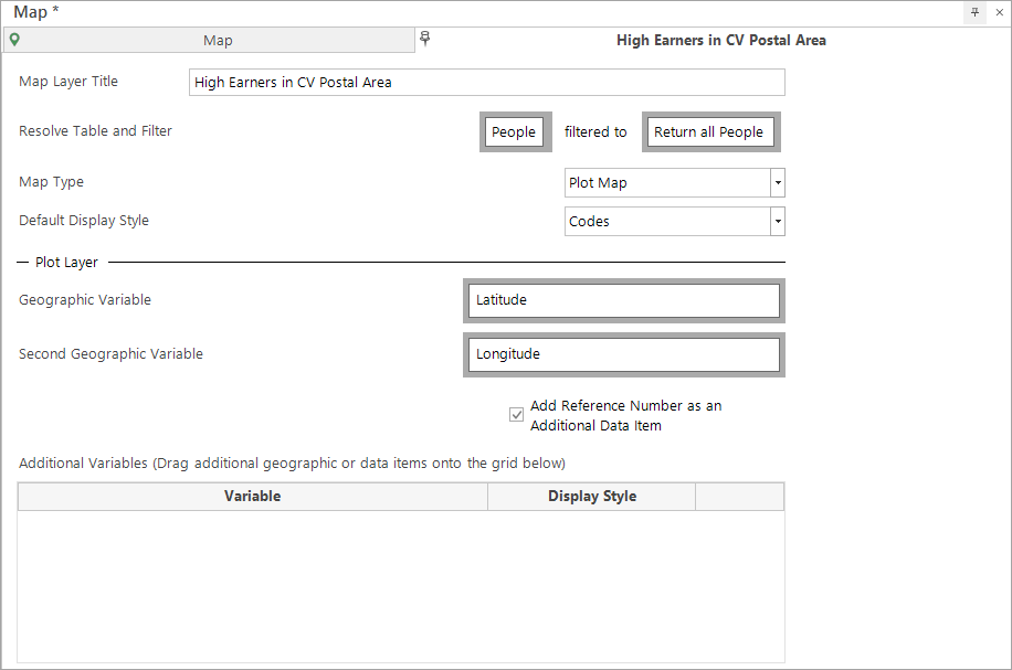
Click on the Layer 1 tab
-
Change the Title to High Earners in CV Postal Area
-
Drag the Latitude variable across as the Geographic Variable to use
This will automatically open and populate Longitude as the Second Geographic Variable to use.
Added in Q2 23
On a plot map layer, you can right click on the Geographic Variable drop-box to easily access, select and add any selector or text variable with a 'GeoFormat' property set:
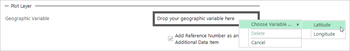
-
Click on the Build button
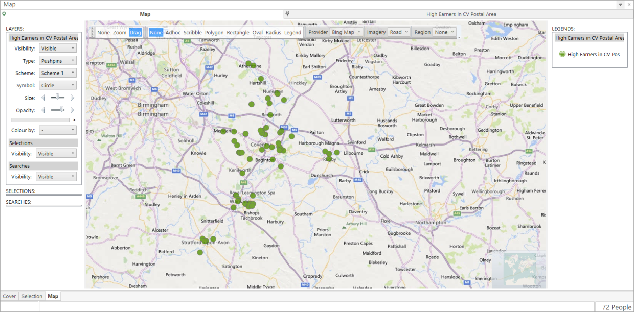
When you zoom in over the CV Postal Area of the resulting map, you will see a pinpoint to represent the location of the people represented in the underlying selection - in this example, High Earners in the CV Postal Area.
Related topics: