Drive Zone Wizard: Overview
The Drive Zone Wizard provides a quick way to group records by their drive time, drive distance, straight line distance, or walking time from a specified point.
To use the Map tool, you need a licensed copy of Bing Maps and any relevant shape files.
You can use this wizard in two different ways to create a virtual variable:
-
Using a single geographic variable - for example Postal Area, Postal District or Postal Sector - to create the zones
-
In this case, the output of the wizard is a selector type virtual variable that combines together the categories - for example postal sectors - and creates zones that fall within your defined times or distances.
-
In the System explorer, the virtual variable will be nested under the variable on which it depends.
-
-
Using latitude and longitude variable information to create the zones
-
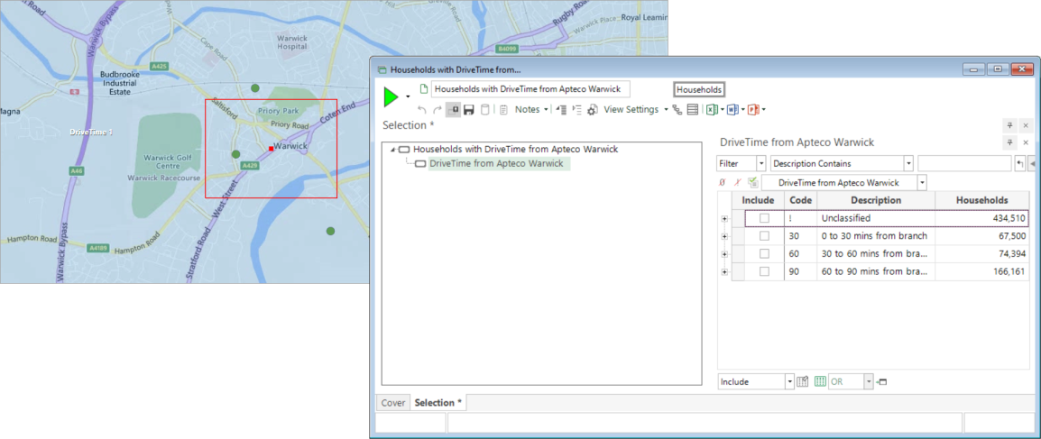
FastStats creates expressions to accurately define each zone and then select only those who fall within the resulting drive zone shapes.
-
In this case, the output of the wizard is either
-
a selector type virtual variable for each individual centrepoint
or
-
when using a file that contains multiple centre points, you have a further option to create a single, multi-response (flag array) variable for all points.
-
-
In the System explorer, you select the folder in which the virtual variable should sit.
-
In systems with latitude and longitude variables, use of the Bing API isochrone allows for fast and accurate processing of records, and the option to carry out walking time analysis is also available.
IMPORTANT: Billable transactions for Bing Maps apply - see Drive Zone Wizard: Update Variable and Bing API for more detail.
To get started:
-
On the Wizard tab click on the
 Drive
Zone link to start the wizard - Drive Zone Wizard: Centre Point
Drive
Zone link to start the wizard - Drive Zone Wizard: Centre Point