Territories Wizard: Latitude / Longitude
Where only one latitude and one longitude variable is available in a system, these fields will auto-populate.
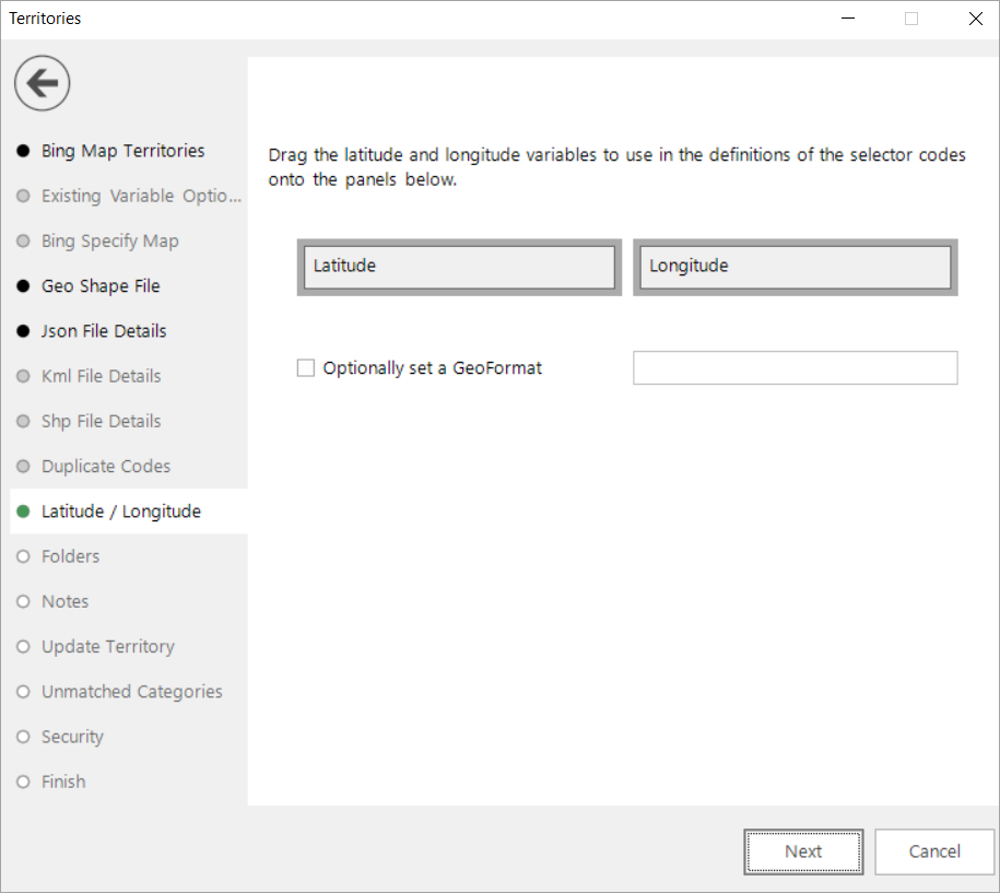
Otherwise you should select and drag the relevant variables onto the drop boxes. Alternatively:
Added in Q2 23
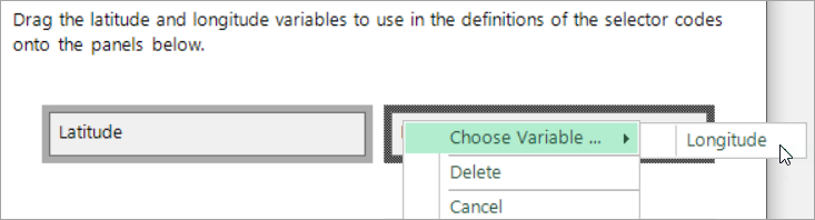
In Map wizards, where you need to specify latitude and longitude variables, you can now right click and access a menu option that allows you to select and add variables which are marked with the relevant 'GeoFormat' property.
You can optionally choose to set a GeoFormat property for the new virtual variable at this step. This is a method of putting a tag alongside a variable to mark it as being a specific type of geographic 'thing' and allowing, for example, two variables to reference the same shapefile.
Click Next to move to Folders
Click  to return to Json File Details