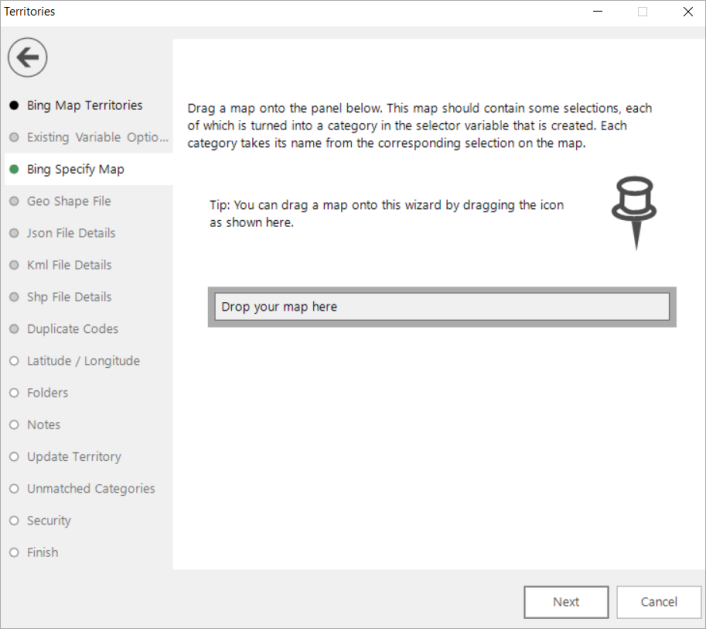
Territories Wizard: Bing Specify Map
Selecting Create territories from shapefile allows you to create customised territories based on selections that you make using the Map tool.
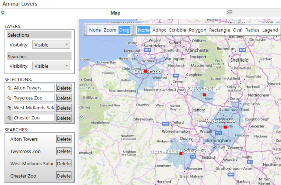
First you must draw your shapes on a map; each shape is then turned into a code within a selector variable before you can use that variable to create a thematically shaded map. For example, you may draw particular sales regions, or create multiple drive times or public transport zones. You can also use the Drive Zone wizard to create zones, each of which is associated with the shape it creates, and then use this to visualise, for example, how far customers will travel to a particular store or venue.
The map below displays map selections related to 30 minute drive times around tourist attractions that might appeal to animal lovers:
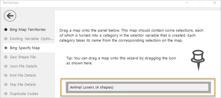
Name and drag the map onto the drop box in this step of the wizard
Click Next to go to Territories Wizard: Latitude / Longitude
Click  to return to Territories Wizard: Bing Map Territories