Point to Point Wizard: Selection
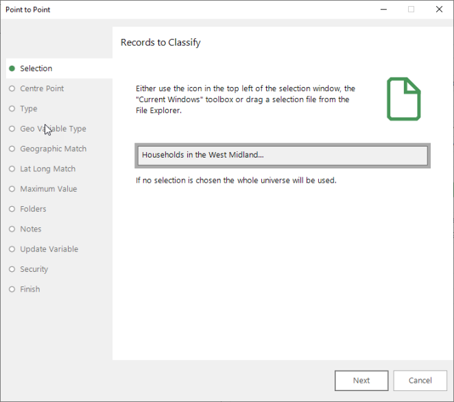
The first step of the wizard asks you to provide a selection of records.
These records can be grouped by -
-
a geographic variable you specify later in the wizard - for example Postal Sector, Postal District, Postal Area
Or, if available:
-
latitude and longitude co-ordinates
Based on the variable type you subsequently choose, each group will have a drive time, drive distance, straight line distance or walking time calculated for it.
NOTE 1 when working with a geographic variable:
If the selection and geographic variable chosen will create a lot of groupings, the wizard will take a long time to process the results.
For example:
-
If you add no selection, the wizard defaults to using the whole FastStats database (containing data on UK addresses)
-
If you then select Postal Sector as your geographic variable, the number of different groupings of postcode sectors in the data could be as much as the total number of postcode sectors in the UK (approximately 12,000)
The wizard then has to calculate the distance or drive time from each postcode sector to the centre point; this will take a very long time!
Alternatively, if the selection specified is just of one particular town, a lot fewer postal sectors will be chosen (i.e. in the Holidays example database, there are about 20 postal sectors in Warwick) and, therefore, the wizard can process these quickly.
Another approach would be to select all records in the system, but to use a more coarse-grained geographic variable such as Postal Area (of which there are approximately 120 in the UK). In this case, the wizard will also be able to proceed quickly.
NOTE 2 when working with a geographic variable
If a large number of records do need to be processed using a fine-grained geographic variable (such as Postal Sector), the Drive Zone Wizard could be used to place each record into a particular zone (such as between 30 minutes and an hour from the centre point). Because the records are grouped into zones rather than figures calculated for each record, the wizard is a lot faster.
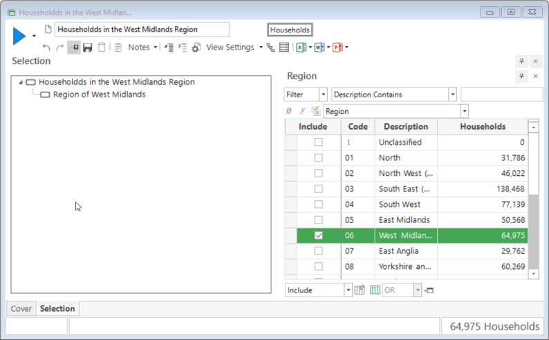
The following example uses a selection that identifies Households in the West Midlands Region as the Records to Classify.
To get started:
-
Create a Household level selection using the Region variable and select West Midlands

-
Drag the selection onto the Drop your selection here drop-box

Click Next to go to Point to Point Wizard: Centre Point
Return to Point to Point Wizard: Overview