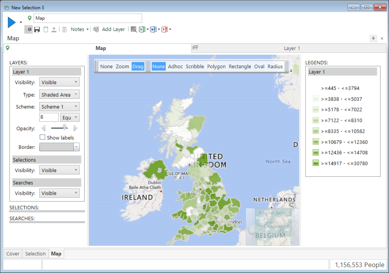
Test mapping is working
Create a shaded map using your geographic variable
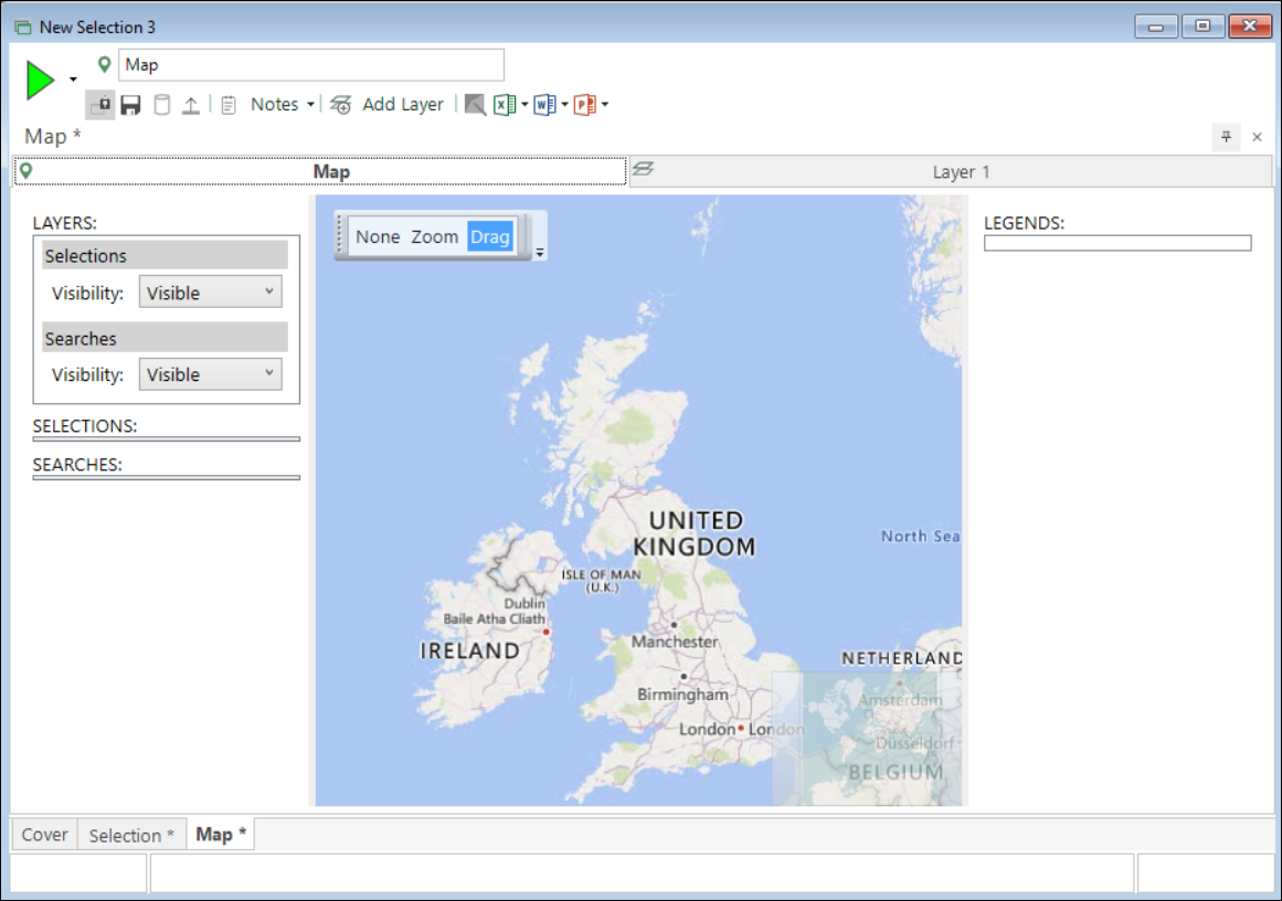
Select the Map module from the Toolbox Ribbon bar.

You are now presented with a Map in a Selection window.
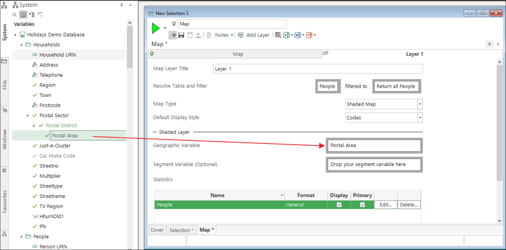
Select the Layer 1 tab, then drag the variable for which you have a shape file onto the Geographic Variable box (e.g. Postal Area).
Select the Build button to display your map with the shapes shaded.