Map definitions
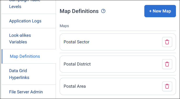
A map definition is a map's shapes, such as UK postal areas, matched to a variable in your system. Users can only show a map on a dashboard map tile or an audience workbook map if it has a map definition. You manage map definitions in Application Settings > Map Definitions.
Before you begin
To add a map definition, you need:
- A shape file for the map, in GeoJSON format (
.geojsonor.json), between 10 bytes and 10 MB. Apteco's standard boundary maps are on the Apteco portal. See Downloading map files. - A variable whose categories match the areas in the shape file, such as a Postal Area variable
Add a map definition
You upload the shape file, then match its areas to your variable's categories.
To add a map definition:
- In Application Settings, select Map Definitions, then + New Map.
- Enter a Map Name, and select + Add Shape File.
-
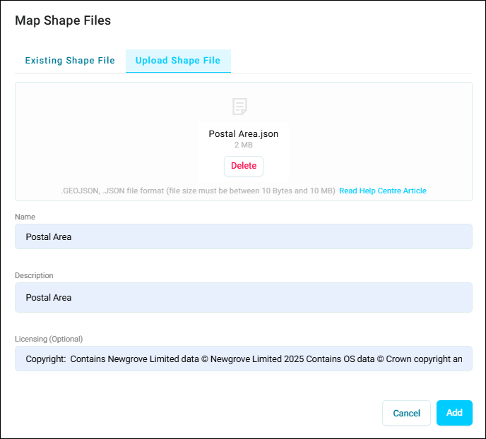
On the Upload Shape File tab, select your file. Then enter a Name and Description for the shape file. If the map's licence asks you to credit its source, enter the credit under Licensing.
-
Select Add.
- Select + Add Variable, and choose the variable the map's areas match, such as Postal Area. For Apteco's postal maps, this is often a virtual variable.
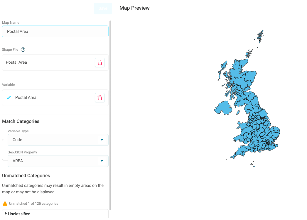
- Under Match Categories, choose whether to match the variable's codes or descriptions under Variable Type. Then choose the field in the shape file that holds them, under GeoJSON Property. For Apteco's UK postal maps, choose
AREAfor postal areas, andFS_CODEorFS_DESCfor postal districts and sectors. -
Check Unmatched Categories, which lists any categories that don't match an area on the map. They show as empty areas, or not at all. To fix them, edit your shape file and upload it again.
-
Select Save.
The map is now available on dashboard map tiles and audience workbook maps.
Check a map's licensing
Some map licences ask you to credit the map's source wherever it's shown. The licensing text you enter for a shape file appears in the details of your Orbit version: select the client version in the footer of the Orbit homepage.
Delete a map definition
To delete a map definition, select its bin icon on the Map Definitions page. Users can no longer choose it for new maps.